
Stories
El Niño's Paradox: Warming Pacific, Causing Droughts Globally
- •El Niño, a natural climate fluctuation, is causing the Pacific Ocean to warm at record rates, with forecasters expecting it to strengthen further by December.
- •Normally, trade winds push warm water west, leading to rain in the western Pacific and colder water upwelling in the east; El Niño weakens these winds, shifting warm water and rainfall eastward.
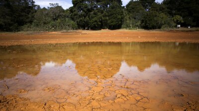
- •This shift brings wetter conditions to the eastern Pacific (e.g., coastal Peru) but causes drought in the western Pacific (e.g., Indonesia), increasing fire risks.
- •El Niño's global influence, known as teleconnections, can suppress rain in regions like the Sahel and alter weather patterns far from the Pacific, including in the UK.
- •The phenomenon can also interact with other ocean conditions, like the Indian Ocean dipole, affecting rainfall in East Africa and parts of India, though local weather systems can still produce extreme events.
Key Questions Answered
El Niño occurs when east-to-west trade winds weaken, allowing warm surface water to remain in the central and eastern Pacific rather than piling up near Indonesia. This shift moves major evaporation, cloud formation, and rainfall eastward, altering global atmospheric circulation and creating droughts in some regions while increasing heavy rains and floods in others.
As warm water shifts toward the central and eastern Pacific, the primary zone of rising moist air moves with it. This causes air to sink over the western Pacific, suppressing cloud formation and leading to much drier conditions than usual, which can also escalate the risk of forest and peatland fires.
Yes, El Niño can trigger atmospheric ripples and alter upper-level temperatures that reach far beyond the Pacific. In Britain, this can increase the likelihood of wetter and stormier weather during autumn and early winter, alongside a higher risk of colder spells later in the winter season.