
Stories
Typhoon Choi-wan's Aftermath: 18-Foot Sea Monster Unleashed, Destructive Rains Return

- •Typhoon Choi-wan brought new trouble in its wake, an 18-foot monster rising from the sea, and destructive rain returning.
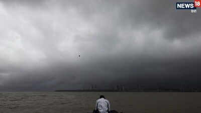
- •The National Weather Service issued an alert that even though the main part of the storm has moved away, this seasonal monster hidden behind it will continue to wreak havoc with destructive rain, strong winds, and 18-foot high waves in the sea for the next few days.
- •Guam and Rota island escaped the direct wind field of the storm but are caught in the vortex of the monsoon surge, with wind gusts of approximately 72 km/h recorded at Guam Airport.
- •Devastation on the streets: Blown-off sheds, uprooted election posters, with strong gusts of up to 45 miles per hour expected.
- •A 'Gale Warning' was issued for coastal marine areas, with dangerous waves 15 to 18 feet high rising in the sea, and 'rip currents' declared life-threatening.
Key Questions Answered
Guam narrowly escaped a direct hit because the storm's center passed 340 miles to its north. However, the island became trapped in the vortex of a dangerous monsoon surge following right behind the typhoon, bringing strong wind gusts, blown-off sheds, and uprooted campaign signboards.
A gale warning was issued for coastal marine areas as dangerous mountain-like waves ranging from 15 to 18 feet high rose in the sea. Additionally, 8 to 12-foot waves crashed against reefs, and life-threatening rip currents led authorities to prohibit inexperienced swimmers from entering the water.
Typhoon warnings remained in effect for the northern islands of Alamagan, Agrihan, and Pagan, where winds exceeded 120 km/h and heavy rainfall was expected to reach 8 to 14 inches. Meanwhile, tropical storm warnings were issued for Saipan and Tinian due to wind gusts up to 60 miles per hour.