
Stories
Delhi Traffic Police Issues Alert After Google Maps Fails To Show Barapulla Jam
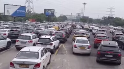
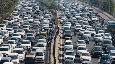
- •Delhi Traffic Police flagged an error on Google Maps which showed the Barapulla Phase-III Elevated Road as clear despite heavy traffic during morning peak hours.
- •Commuters travelling from Noida Link Road and Mayur Vihar Phase-I towards Ring Road were wrongly directed into the congested stretch.
- •Vehicles are currently being diverted towards NH-24 and DND to ease congestion while traffic personnel regulate movement on the spot.
- •The mapping error has been reported to the concerned agency for urgent correction to reflect actual ground conditions.
Key Questions Answered
Delhi Traffic Police flagged that Google Maps was showing the Barapulla Phase-III Elevated Road as clear despite heavy traffic, which directed unaware commuters into severe morning peak hour congestion between 10 AM and 12 PM. The police reported this navigation error to the concerned agency for immediate correction.
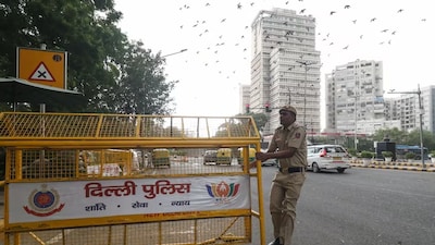
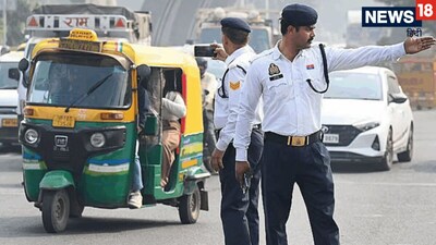
To ease traffic, Delhi Traffic Police is actively diverting vehicles approaching Barapulla Phase-III from Noida Link Road and Mayur Vihar Phase-I toward NH-24 and DND. Traffic personnel are also stationed at the location to regulate vehicle movement and manage the diversions.
The Barapulla Phase-III flyover was inaugurated on September 29, 2026, and opened to the public the next day. Traffic congestion on the stretch is exacerbated by a design bottleneck where multiple lanes converge into a single-lane road, combined with a Google Maps glitch that fails to display real-time congestion data.