
Stories
Earth Turns Red on Climate Maps as Historic El Nino Strengthens
M
Moneycontrol•09-10-2026, 17:09
Earth Turns Red on Climate Maps as Historic El Nino Strengthens
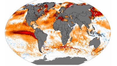
- •The World Meteorological Organization reports that sea-surface temperatures in the tropical Pacific are continuing to rise, signaling an exceptionally strong El Nino.
- •Temperatures in the Niño 3.4 region could reach 3.7 degrees Celsius above normal between October and December, potentially making it one of the strongest events since 1950.
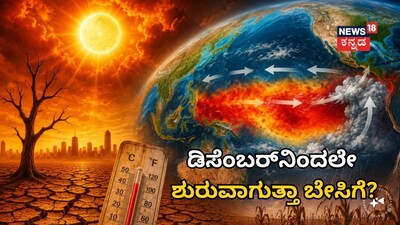
- •El Nino is a natural climate pattern where Pacific waters become warmer than usual, altering atmospheric circulation and influencing weather thousands of kilometers away.
- •The WMO indicates a near-100 percent chance that the current El Nino will continue through February 2027, bringing risks of flooding, droughts, and high temperatures.
- •Scientists warn that this powerful El Nino is arriving amid human-driven climate change, which has already raised global temperatures and could receive an extra push of heat.
Key Questions Answered
Between October and December, temperatures in the Niño 3.4 region could reach about 3.7°C above normal, potentially making it one of the strongest El Niño events since records began in 1950.
The World Meteorological Organization states there is a near-100 percent chance that the current El Niño will continue through February 2027.
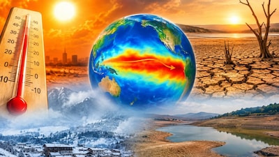
Red colors on these climate maps show that an area is warmer than a long-term reference average, rather than indicating that every place on Earth is experiencing extreme heat.